Toxic Risk Map Images
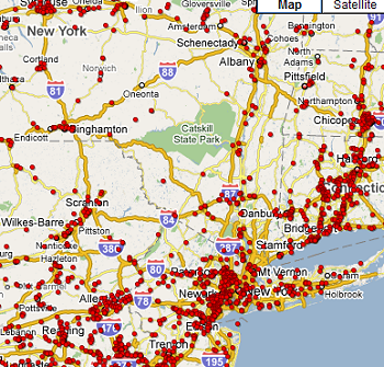 Zooming in a few levels from the U.S. map. | 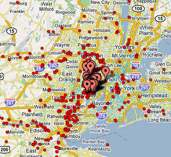 Zoom in further and you can click on TRI facilities. |
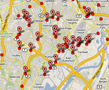 Zooming in even further. |  Zoom in further and schools are visible. |
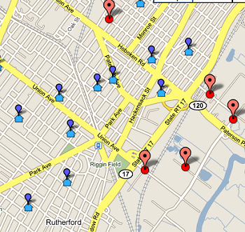 Zoom even further and you can click on a school for its name. |  Like this. |
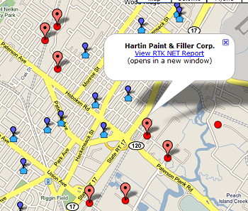 You can also click on TRI facilities for name and a link to a very comprehensive database about the facility (by 4/20/09 PM the number of schools within 1 mile and 5 miles of a facility will be listed here as well). | 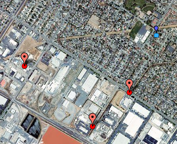 You can also see a satellite view at any zoom level. |